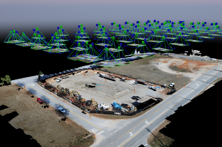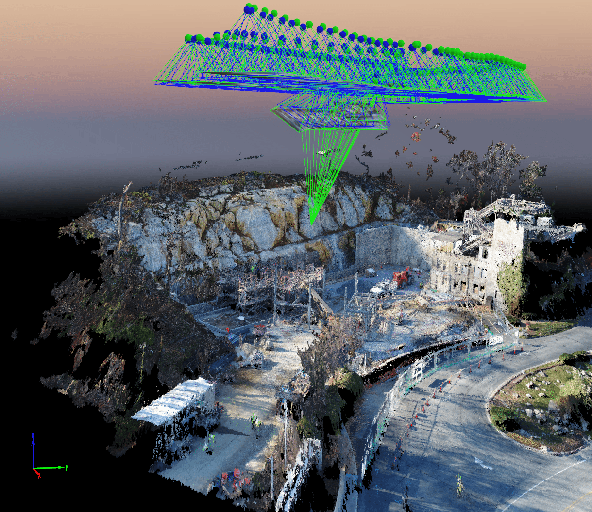
A site capture of Firestone in Opelika, Ala., offers measurements at 1-inch accuracy through use of survey control points.
Construction of the Firestone store in Opelika, Ala., required a series of cut and fills before construction began. Wanting to ensure that the site’s grade was maintained and that stormwater drainage requirements were achieved, the EMJ Special Projects team enlisted the help of Caleb Wickersham, Virtual Construction Engineer and licensed drone operator.
Using GPS coordinates and other data, Caleb conducted programmed, automated flights along the same path at each stage of the site’s preparation. During the flights, the drone captured high-resolution images of the site from which Caleb applied photogrammetry.
“Photogrammetry offers construction teams the ability to capture measurements and record the site how it was at the time of flight,” said Caleb.
The measurements obtained through this process are within an inch of accuracy and offer endless applications in the construction industry.
“It allows us to go back if something goes wrong and see where and when the problem occurred or can be used to hold project participants accountable for their contracted responsibilities,” said Caleb. “Taking measurements can also offer data that would otherwise take extra time, effort and money to obtain. For example, after a drone flight at the Hampton Inn site in Decatur, Ga., we captured the height of surrounding buildings. This was then used to discuss crane logistics and security camera locations for the site.”


 Caleb Wickersham joined EMJ Corporation in 2017 and is focusing on building EMJ’s field technology capabilities, such as drones, Matterport and laser scanning, as well as assisting with BIM coordination and other related tasks.